-
 ×
- Início
- Impressões Artísticas ▸
- Artistas ▸
- Categorias ▸
- Estilos Artísticos ▸
- Moldura de imagem ▸
- Todas as molduras
- Molduras barrocas
- Molduras decorativas simples
- Molduras decorativas rústicas
- Molduras com vão de sombra
- Molduras douradas
- Molduras prateadas
- Molduras brancas
- Molduras decorativas pretas
- Molduras com aparência de madeira
- Molduras Shabby Chic
- Molduras decorativas finas
- Molduras decorativas grossas
- Mídia impressa ▸
- Todos os meios de impressão
- Lona Leonardo (cetim)
- Lona Salvador (fosco)
- Lona Raphael (fosco)
- FineArt fosco foto
- FineArt cetim foto
- FineArt baryte da foto
- FineArt foto brilhante
- Cartão em Aquarela Munch
- Cartão em Aquarela Renoir
- Cartão em Aquarela Turner
- Cartão em Aquarela Dürer
- Natural Line Hemp
- Natural Line Rice
- Kozo White, 110g
- Kozo Natural, 110g
- Inbe White, 125g
- Unryu, 55g
- Bamboo, 110g
- Premio Unryu, 165g
- Murakumo Natural, 42g
- Bizan Natural, 300g
- Bizan White, 300g
- Composto de alumínio 3mm
- Vidro acrílico 5mm
- Encomendar conjunto amostra
- Qual é o meio de impressão certo?
Tela
Papel fotográfico
Cartão para aquarela
Natural Line
Papel japonês
Mídias especiais
Mais informações
- Ajuda e serviço ▸
- Contate-nos
- Venda sua arte
- Perguntas frequentes
- Vagas abertas
- Reclamação
- Pedir amostras
- Pedir vales
- Custos de envio
- Tempo de produção
- Sustentabilidade
- Pesquisa de imagem
- Pedidos especiais
- Quem somos nós?
- Política de preços
- Política da empresa
- Compromisso de qualidade
- Distinções
- Chassi para tela
- Passe-partout
- Molduras decorativas
- Vidraça
- Filetes
- Sistemas de montagem
- Mídias de impressão
- Dicas de cuidados
- Marca
- Termos e Condições
- Proteção de Dados
- Direito de Cancelamento
Informações e serviços
Mais informações
Informações úteis
Informação legal
- Loja ▸
- Contato




 Visualizar em 3D/AR
 Adicionar aos favoritos
 Selecione a cor da parede
 Ver o quadro numa divisão
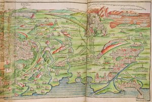
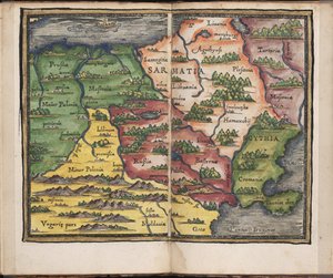
.jpg "Ms. Lat. 463, fol. 81v-82r, mapa da Gália, da Bélgica, de Lyon e da Aquitânia")
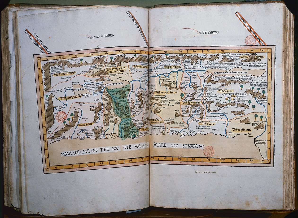
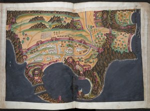
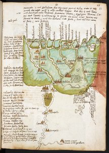
.jpg "Ms Lat 463 f.111v-112r Mapa da Fenícia, Mesopotâmia e Babilónia")


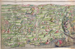
.jpg "Mapa do Nordeste do Brasil")

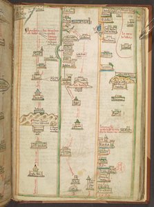
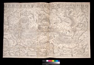
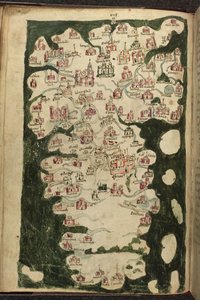
.jpg "Lansdowne 204 ff.225v & 226 Mapa da Escócia por John Harding, c.1450 (tinta e têmpera em pergaminho)")


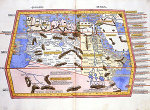
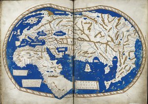
.jpg "Mapa de África, prancha 18 de um atlas do mundo, 1486")
.jpg "São Brandão e uma sereia, da tradução alemã da Navigatio Sancti Brendani Abbatis, c. 1476")
 - (MeisterDrucke-110319).jpg "A prostituta da Babilónia, da Bíblia de Lutero, c. 1530 (xilogravura colorida)")
.jpg "Alce, 1860")
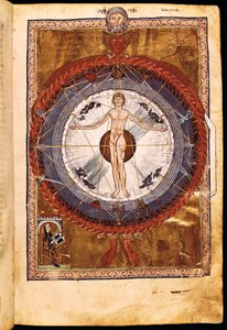
.jpg "O coro dos anjos. Miniatura do Liber Scivias de Hildegarda de Bingen, c. 1175")
.jpg "Fól. 44v Mapa do Brasil, de «Cosmographie Universelle», 1555")
 in Asia - (MeisterDrucke-57567).jpg "Mapa das viagens e expedições de Alexandre, o Grande (356-323 a.C.) na Ásia")
.jpg "Esboçar mapa da Austrália, mostrando a posição da rota do Sr. Stuart, 1864")
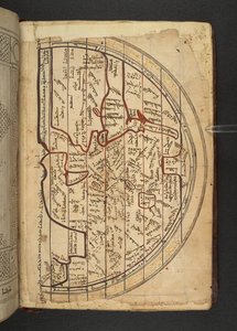
.jpg "Mapa-múndi, de «Le Theatre du Monde» ou «Nouvel Atlas», 1645")
.jpg "Mapa do sul da Grã-Bretanha, colorido para mostrar zonas de interesse geológico, anotado por William Smith (1769-1839)")
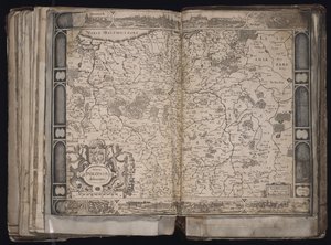
 (see also 330952) - (MeisterDrucke-93448).jpg "Europa do Norte, de um atlas do mundo em 33 mapas, Veneza, 1 de setembro de 1553")
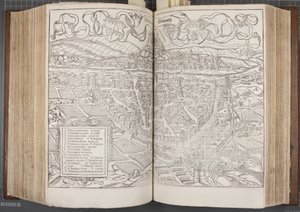
.jpg "Mapa de Viena, publicado pela Klimsch und Co., Frankfurt, c.1860")

.jpg "Fólio 7v: Mapa do Polo Norte, de «Cosmographie Universelle», 1555")
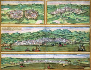
.jpg "Mapa de Forata e Jeresa de &39;Civitates Orbis Terrarum&39; por Georg Braun (1541-1622) e Frans Hogenberg (1535-90), 1565")
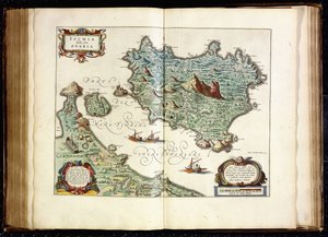
.jpg "Ms 988 volume 3 fol. 33 Mapa da cidade e cidadela de Belle-Île, do «Atlas Louis XIV», 1683-88")
.jpg "Mapa de Roterdão e Gouda, de «Civitates Orbis Terrarum» de Georg Braun (1541-1622) e Frans Hogenberg (1535-90), c. 1572-1617")

 - (MeisterDrucke-190032).jpg "Mapa que representa a costa leste da América do Norte, 1647")
.jpg "O barco à vela, efeito nocturno, 1885")
 (charcoal on paper) - (MeisterDrucke-304553).jpg "Ainda estou a aprender (Aun Aprendo)")
.jpg "Rapariga com criança")
.jpg "Placas de gelo em Bennecourt")
.jpg "A pega")
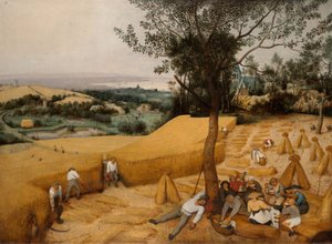
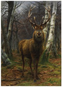
.jpg "Paisagem de inverno, 1835-8")
.jpg "Vitrúvio, Luc Viatour")
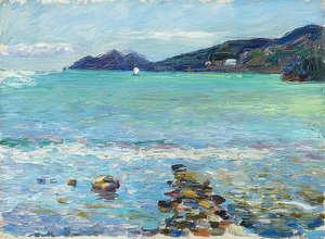
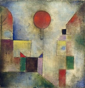
.jpg "As estações: verão, 1896")

 +43 4257 29415
 support@meisterdrucke.com
 Mo-Do: 7:00 - 16:00 | Fr: 7:00 - 13:00