-
 ×
- Início
- Impressões Artísticas ▸
- Artistas ▸
- Categorias ▸
- Estilos Artísticos ▸
- Moldura de imagem ▸
- Todas as molduras
- Molduras barrocas
- Molduras decorativas simples
- Molduras decorativas rústicas
- Molduras com vão de sombra
- Molduras douradas
- Molduras prateadas
- Molduras brancas
- Molduras decorativas pretas
- Molduras com aparência de madeira
- Molduras Shabby Chic
- Molduras decorativas finas
- Molduras decorativas grossas
- Mídia impressa ▸
- Todos os meios de impressão
- Lona Leonardo (cetim)
- Lona Salvador (fosco)
- Lona Raphael (fosco)
- FineArt fosco foto
- FineArt cetim foto
- FineArt baryte da foto
- FineArt foto brilhante
- Cartão em Aquarela Munch
- Cartão em Aquarela Renoir
- Cartão em Aquarela Turner
- Cartão em Aquarela Dürer
- Natural Line Hemp
- Natural Line Rice
- Kozo White, 110g
- Kozo Natural, 110g
- Inbe White, 125g
- Unryu, 55g
- Bamboo, 110g
- Premio Unryu, 165g
- Murakumo Natural, 42g
- Bizan Natural, 300g
- Bizan White, 300g
- Composto de alumínio 3mm
- Vidro acrílico 5mm
- Encomendar conjunto amostra
- Qual é o meio de impressão certo?
Tela
Papel fotográfico
Cartão para aquarela
Natural Line
Papel japonês
Mídias especiais
Mais informações
- Ajuda e serviço ▸
- Contate-nos
- Venda sua arte
- Perguntas frequentes
- Vagas abertas
- Reclamação
- Pedir amostras
- Pedir vales
- Custos de envio
- Tempo de produção
- Sustentabilidade
- Pesquisa de imagem
- Pedidos especiais
- Quem somos nós?
- Política de preços
- Política da empresa
- Compromisso de qualidade
- Distinções
- Chassi para tela
- Passe-partout
- Molduras decorativas
- Vidraça
- Filetes
- Sistemas de montagem
- Mídias de impressão
- Dicas de cuidados
- Marca
- Termos e Condições
- Proteção de Dados
- Direito de Cancelamento
Informações e serviços
Mais informações
Informações úteis
Informação legal
- Loja ▸
- Contato






 Visualizar em 3D/AR
 Adicionar aos favoritos
 Selecione a cor da parede
 Ver o quadro numa divisão
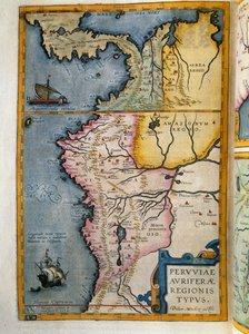
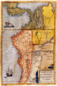
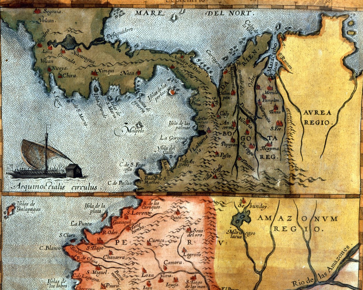
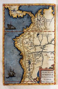
.jpg "Mapa das regiões auríferas do Peru, do Atlas Maior, Sive Cosmographia Blaviana, 1662")
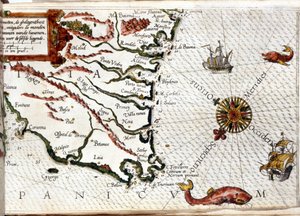
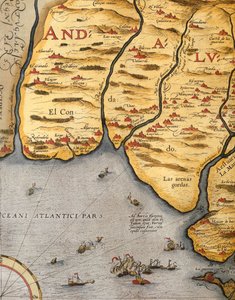
.jpg "Noroeste de África com as Canárias (gravura")
.jpg "Mapa histórico antigo da Trácia antiga, maioritariamente em latim e com muito pouco grego, realizado em 1585. O mapa mostra também parte da Ásia Menor, a Mésia Inferior e a Grécia antiga, juntamente com algumas ilhas do Egeu. Existem alguns anacronismos")


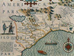
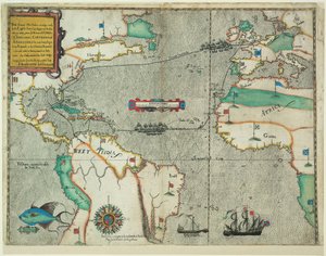
.jpg "Rota da viagem de Drakes através do Oceano Atlântico, 1586")
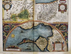
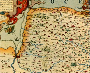
.jpg "Aragão e Catalunha, Espanha (gravura")
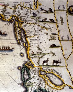
 - (MeisterDrucke-37902).jpg "Mapa do Canadá, de «Mapa da América do Norte»")




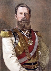
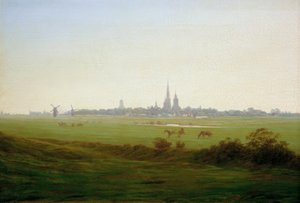
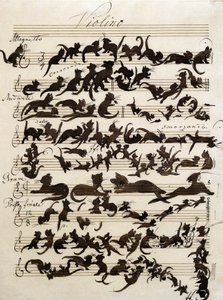
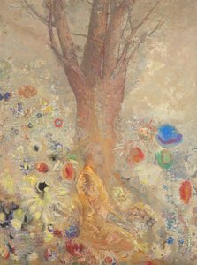
.jpg "Castanheiro em flor")
 - (MeisterDrucke-278621).jpg "Paisagem de Wiltshire, 1937")
.jpg "O Quarto Estado")
.jpg "A Ceia em Emaús")
.jpg "Natureza-morta de flores sobre uma saliência de mármore, 1800-01")
.jpg "O sonho")
.jpg "O Beijo")
.jpg "Retrato do filósofo e esoterista Rudolf Steiner")
.jpg "O nascimento de Vénus")

 +43 4257 29415
 support@meisterdrucke.com
 Mo-Do: 7:00 - 16:00 | Fr: 7:00 - 13:00