-
 ×
- Início
- Impressões Artísticas ▸
- Artistas ▸
- Categorias ▸
- Estilos Artísticos ▸
- Moldura de imagem ▸
- Todas as molduras
- Molduras barrocas
- Molduras decorativas simples
- Molduras decorativas rústicas
- Molduras com vão de sombra
- Molduras douradas
- Molduras prateadas
- Molduras brancas
- Molduras decorativas pretas
- Molduras com aparência de madeira
- Molduras Shabby Chic
- Molduras decorativas finas
- Molduras decorativas grossas
- Mídia impressa ▸
- Todos os meios de impressão
- Lona Leonardo (cetim)
- Lona Salvador (fosco)
- Lona Raphael (fosco)
- FineArt fosco foto
- FineArt cetim foto
- FineArt baryte da foto
- FineArt foto brilhante
- Cartão em Aquarela Munch
- Cartão em Aquarela Renoir
- Cartão em Aquarela Turner
- Cartão em Aquarela Dürer
- Natural Line Hemp
- Natural Line Rice
- Kozo White, 110g
- Kozo Natural, 110g
- Inbe White, 125g
- Unryu, 55g
- Bamboo, 110g
- Premio Unryu, 165g
- Murakumo Natural, 42g
- Bizan Natural, 300g
- Bizan White, 300g
- Composto de alumínio 3mm
- Vidro acrílico 5mm
- Encomendar conjunto amostra
- Qual é o meio de impressão certo?
Tela
Papel fotográfico
Cartão para aquarela
Natural Line
Papel japonês
Mídias especiais
Mais informações
- Ajuda e serviço ▸
- Contate-nos
- Venda sua arte
- Perguntas frequentes
- Vagas abertas
- Reclamação
- Pedir amostras
- Pedir vales
- Custos de envio
- Tempo de produção
- Sustentabilidade
- Pesquisa de imagem
- Pedidos especiais
- Quem somos nós?
- Política de preços
- Política da empresa
- Compromisso de qualidade
- Distinções
- Chassi para tela
- Passe-partout
- Molduras decorativas
- Vidraça
- Filetes
- Sistemas de montagem
- Mídias de impressão
- Dicas de cuidados
- Marca
- Termos e Condições
- Proteção de Dados
- Direito de Cancelamento
Informações e serviços
Mais informações
Informações úteis
Informação legal
- Loja ▸
- Contato





 Visualizar em 3D/AR
 Adicionar aos favoritos
 Selecione a cor da parede
 Ver o quadro numa divisão
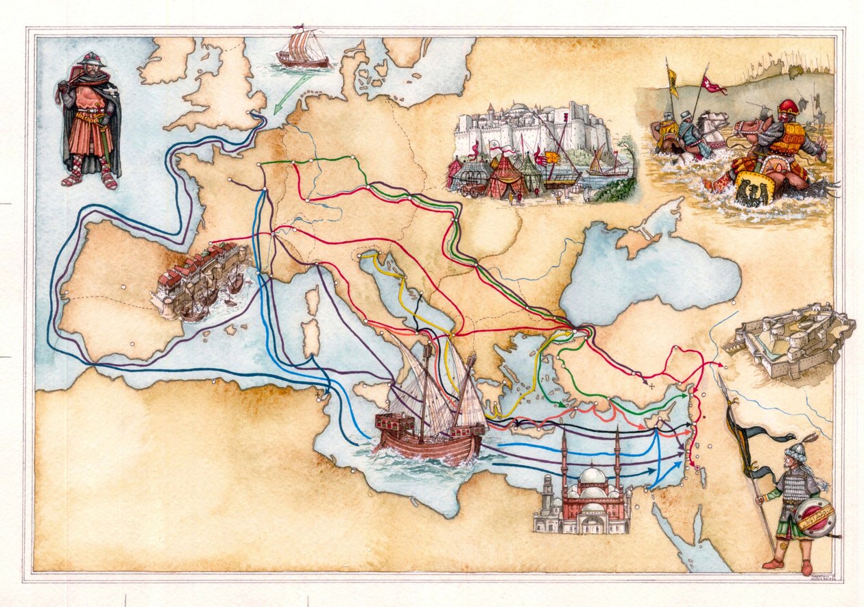
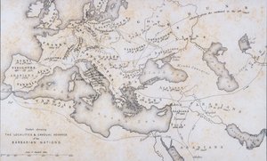
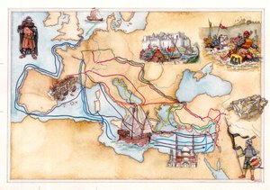
_peeling_roads_(Jerusale_-_(MeisterDrucke-1552552).jpg "Idade Média: as principais estradas que atravessam a Europa (estradas romanas), as estradas de descasque (Jerusalém), a Rota da Seda para a China.")
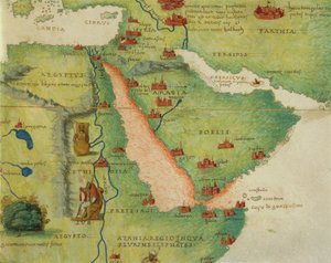
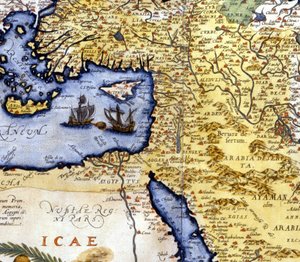
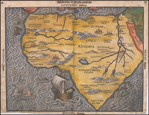
 (detail from 330946) - (MeisterDrucke-115920).jpg "Etiópia, o Mar Vermelho e a Arábia Saudita, de um Atlas do Mundo em 33 mapas, Veneza, 1 de setembro de 1553, pormenor de 330946")
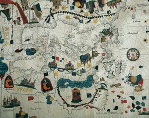
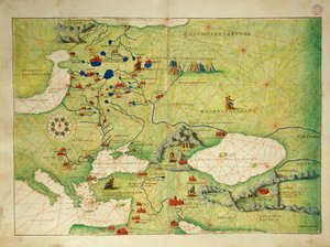
 (see also 330954) - (MeisterDrucke-86251).jpg "Europa e Ásia Central, de um Atlas do Mundo em 33 Mapas, Veneza, 1º de setembro de 1553 (tinta em pergaminho) (ver também 330954)")
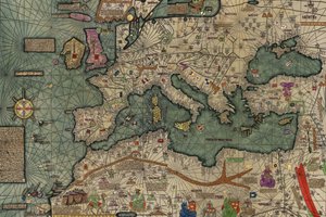

 (see also 330953) - (MeisterDrucke-55409).jpg "Detalhe da Europa e da Ásia Central, de um Atlas do Mundo em 33 Mapas, Veneza, 1º de setembro de 1553 (tinta em pergaminho) (ver também 330953)")
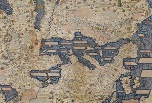

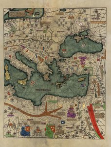
.jpg "Mapa da Europa Oriental, vista do sul. Atlas Catalão")
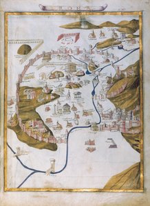
.jpg "Detalhe de Constantinopla da cópia do mapa de Peutinger")
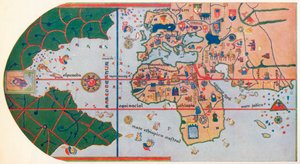
.jpg "Fol.30v Mapa do Mar de Maluku, da &39;Cosmographie Universelle&39;, 1555")
 (see also 330950) - (MeisterDrucke-87632).jpg "O continente europeu, de um atlas do mundo em 33 mapas, Veneza, 1 de setembro de 1553")
.jpg "Mapa de Byzance (gravura")
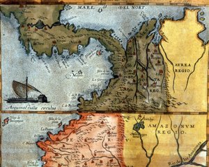

.jpg "Ms. 986, vol.1 &39;Louis XIV Atlas&39;, mapa de Collioure, 1683-88")
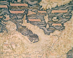


_of_the_Knights_(Qalaat_el_Husn_or_Qal_-_(MeisterDrucke-1552276).jpg "Idade Média: vista aérea do Krak (Crac) dos Cavaleiros (Qala")
.jpg "Cerimónia fúnebre entre os Vikings, o defunto é colocado num barco falhado (drakkar) cheio de animais sacrificados e objectos do enxoval fúnebre, à espera de ser incinerado. Século X")

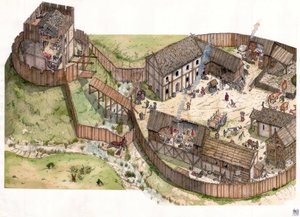
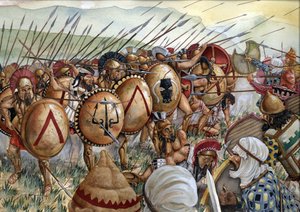
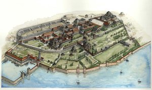

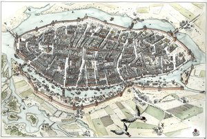
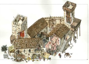
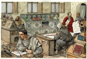
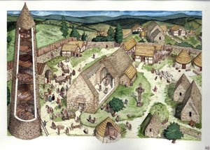
.jpg "Idade Média: reconstrução do castelo cátaro de Montsegur (concluído no século XIII), Ariege, França.")
.jpg "Idade Média: Antiga basílica de São Pedro em Roma (Basílica de San Pietro ou Basílica de Constantino) ca 1300, Roma Itália")
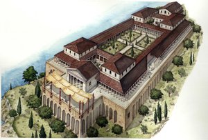

.jpg "Um passeio na praia")
.jpg "Homem e mulher, abraço")
 - (MeisterDrucke-103908).jpg "Composição, 1930")


 - (MeisterDrucke-25084).jpg "Retrato idealizado de uma dama (retrato de Simonetta Vespucci como ninfa)")

 +43 4257 29415
 support@meisterdrucke.com
 Mo-Do: 7:00 - 16:00 | Fr: 7:00 - 13:00