-
 ×
- Início
- Impressões Artísticas ▸
- Artistas ▸
- Categorias ▸
- Estilos Artísticos ▸
- Moldura de imagem ▸
- Todas as molduras
- Molduras barrocas
- Molduras decorativas simples
- Molduras decorativas rústicas
- Molduras com vão de sombra
- Molduras douradas
- Molduras prateadas
- Molduras brancas
- Molduras decorativas pretas
- Molduras com aparência de madeira
- Molduras Shabby Chic
- Molduras decorativas finas
- Molduras decorativas grossas
- Mídia impressa ▸
- Todos os meios de impressão
- Lona Leonardo (cetim)
- Lona Salvador (fosco)
- Lona Raphael (fosco)
- FineArt fosco foto
- FineArt cetim foto
- FineArt baryte da foto
- FineArt foto brilhante
- Cartão em Aquarela Munch
- Cartão em Aquarela Renoir
- Cartão em Aquarela Turner
- Cartão em Aquarela Dürer
- Natural Line Hemp
- Natural Line Rice
- Kozo White, 110g
- Kozo Natural, 110g
- Inbe White, 125g
- Unryu, 55g
- Bamboo, 110g
- Premio Unryu, 165g
- Murakumo Natural, 42g
- Bizan Natural, 300g
- Bizan White, 300g
- Composto de alumínio 3mm
- Vidro acrílico 5mm
- Encomendar conjunto amostra
- Qual é o meio de impressão certo?
Tela
Papel fotográfico
Cartão para aquarela
Natural Line
Papel japonês
Mídias especiais
Mais informações
- Ajuda e serviço ▸
- Contate-nos
- Venda sua arte
- Perguntas frequentes
- Vagas abertas
- Reclamação
- Pedir amostras
- Pedir vales
- Custos de envio
- Tempo de produção
- Sustentabilidade
- Pesquisa de imagem
- Pedidos especiais
- Quem somos nós?
- Política de preços
- Política da empresa
- Compromisso de qualidade
- Distinções
- Chassi para tela
- Passe-partout
- Molduras decorativas
- Vidraça
- Filetes
- Sistemas de montagem
- Mídias de impressão
- Dicas de cuidados
- Marca
- Termos e Condições
- Proteção de Dados
- Direito de Cancelamento
Informações e serviços
Mais informações
Informações úteis
Informação legal
- Loja ▸
- Contato





 Visualizar em 3D/AR
 Adicionar aos favoritos
 Selecione a cor da parede
 Ver o quadro numa divisão
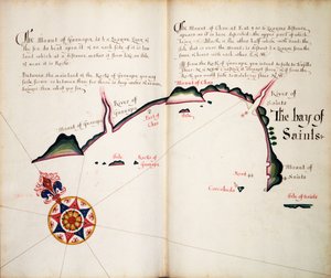

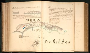
.jpg "Deixa 3v e 4r, de Divers Voyages Tocando a Discouerie of America ... 1582 (impressão tipográfica)")
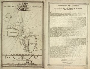
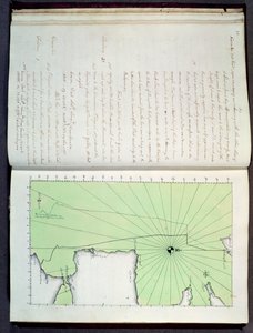
.jpg "Mapa da costa da Nova Zelândia, ilustração de um diário de uma viagem para os mares do Sul: na nave de Sua Majestade, o Endeavour, 1794 (gravura colorida à mão)")
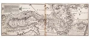
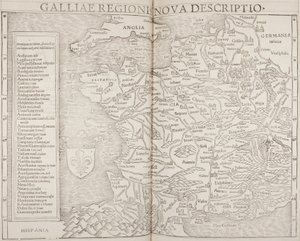
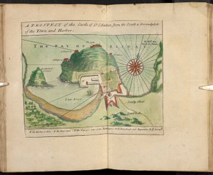
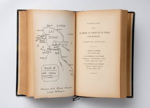
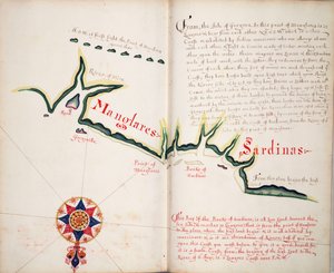
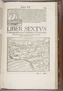
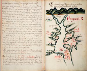
.jpg "A primeira placa de Europa, a partir do último Geographic vezes da pressão original grego castigatissime, impresso por Johann Scott em 1513")
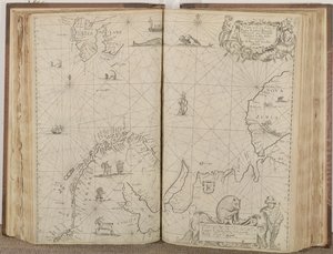
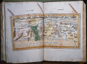
.jpg "Volume encadernado, Recueil des Ouvrages en Serrurerie ... sur place Royale de Nancy (uma coleção de desenhos de chaveiro para o Palácio Real de Nancy)")
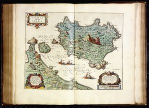
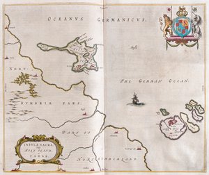
.jpg "Broome, a sede de Sir Basil Dixwell, de \"Trinta e Seis Diferentes Visões dos Nobres e Senhores Assentos, no Condado de Kent\", gravada por T. Harris, 1750")
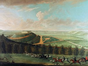
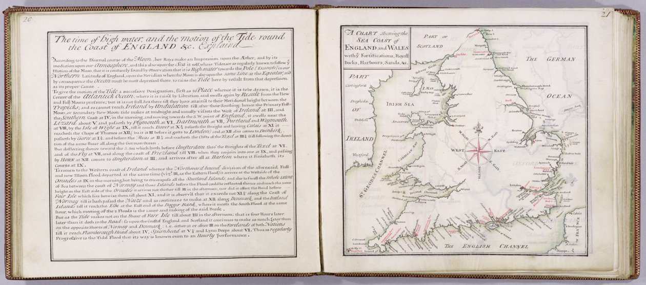
 - (MeisterDrucke-41908).jpg "Carta da costa marítima de Inglaterra e do País de Gales, prancha de ’A Compleat Sett of Mapps of England and Wales in General...’, 1724")
.jpg "Tunbridge Wells, de \"Trinta e Seis Diferentes Visões dos Nobres e Senhores de Assentos, no Condado de Kent\", de Thomas Badeslade (1718-50), gravado por Johannes Kip (c.1652-1722), publicado em c.1750 (pt")
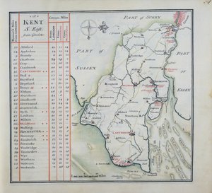
.jpg "Página de rosto de um conjunto completo de mapas da Inglaterra e do País de Gales em geral ..., 1724 (caneta e tinta e wc no papel)")
 engraved by Johannes Kip (c1652-1722) published c1750 (en - (MeisterDrucke-133065).jpg "Tunbridge Wells, de \"Trinta e Seis Diferentes Visões dos Nobres e Senhores de Assentos, no Condado de Kent\", de Thomas Badeslade (1718-50), gravado por Johannes Kip (c.1652-1722), publicado em c.1750 (pt")
.jpg "Capa de A Compleat Sett of Mapps da Inglaterra e do País de Gales em General ..., 1724 (couro)")
.jpg "A perspectiva ocidental de Knole, de \"Trinta e seis visões diferentes dos assentos de nobres e cavalheiros, no condado de Kent\", gravada por I. Kip, c.1750")
 - (MeisterDrucke-39312).jpg "Mapa de South West Point, Virgínia, de &39;Guerre de l&39;Amerique&39;, 1782 (gravura a cor)")
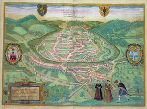
.jpg "Mapa da Grã-Bretanha, França e Espanha, 1473")
.jpg "Mapa de Froggett do país Quinze milhas ao redor de Londres, 1833")
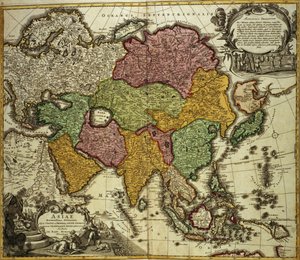
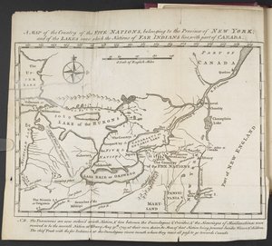
.jpg "Mapa da parte meridional do estado de Nova Iorque e das áreas circundantes, c. 1775")
 - (MeisterDrucke-183730).jpg "Mapa da «Provincia» ou Provença, atualmente parte do sul de França, 1638")
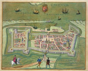
.jpg "Mapa da Grã-Bretanha em 658, produzido por Stanford’s Geographical Establishment")
.jpg "Mapa da Atlântida, de «Mundus Subterraneus», 1665-68")
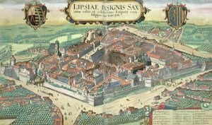
.jpg "Mapa da cidade e do porto português de Goa, Índia, 1595")
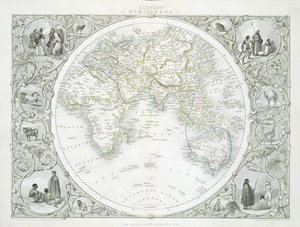
 - (MeisterDrucke-62465).jpg "Mapa do leste da América do Norte: da Florida à baía de Chesapeake")
 Systems of Planetary Orbit 1701 - (MeisterDrucke-40588).jpg "Mapa representando os sistemas ptolomaico e Tycho Brahe (1546-1601) da órbita planetária, 1701")
.jpg "Vaso de flores, 1887")
.jpg "Grace a ler na baía de Howth")
.jpg "A ponte de Langlois em Arles com lavadeiras")
.jpg "P. S. Krøyer")


 +43 4257 29415
 support@meisterdrucke.com
 Mo-Do: 7:00 - 16:00 | Fr: 7:00 - 13:00