-
 ×
- Início
- Impressões Artísticas ▸
- Artistas ▸
- Categorias ▸
- Estilos Artísticos ▸
- Moldura de imagem ▸
- Todas as molduras
- Molduras barrocas
- Molduras decorativas simples
- Molduras decorativas rústicas
- Molduras com vão de sombra
- Molduras douradas
- Molduras prateadas
- Molduras brancas
- Molduras decorativas pretas
- Molduras com aparência de madeira
- Molduras Shabby Chic
- Molduras decorativas finas
- Molduras decorativas grossas
- Mídia impressa ▸
- Todos os meios de impressão
- Lona Leonardo (cetim)
- Lona Salvador (fosco)
- Lona Raphael (fosco)
- FineArt fosco foto
- FineArt cetim foto
- FineArt baryte da foto
- FineArt foto brilhante
- Cartão em Aquarela Munch
- Cartão em Aquarela Renoir
- Cartão em Aquarela Turner
- Cartão em Aquarela Dürer
- Natural Line Hemp
- Natural Line Rice
- Kozo White, 110g
- Kozo Natural, 110g
- Inbe White, 125g
- Unryu, 55g
- Bamboo, 110g
- Premio Unryu, 165g
- Murakumo Natural, 42g
- Bizan Natural, 300g
- Bizan White, 300g
- Composto de alumínio 3mm
- Vidro acrílico 5mm
- Encomendar conjunto amostra
- Qual é o meio de impressão certo?
Tela
Papel fotográfico
Cartão para aquarela
Natural Line
Papel japonês
Mídias especiais
Mais informações
- Ajuda e serviço ▸
- Contate-nos
- Venda sua arte
- Perguntas frequentes
- Vagas abertas
- Reclamação
- Pedir amostras
- Pedir vales
- Custos de envio
- Tempo de produção
- Sustentabilidade
- Pesquisa de imagem
- Pedidos especiais
- Quem somos nós?
- Política de preços
- Política da empresa
- Compromisso de qualidade
- Distinções
- Chassi para tela
- Passe-partout
- Molduras decorativas
- Vidraça
- Filetes
- Sistemas de montagem
- Mídias de impressão
- Dicas de cuidados
- Marca
- Termos e Condições
- Proteção de Dados
- Direito de Cancelamento
Informações e serviços
Mais informações
Informações úteis
Informação legal
- Loja ▸
- Contato





 Visualizar em 3D/AR
 Adicionar aos favoritos
 Selecione a cor da parede
 Ver o quadro numa divisão
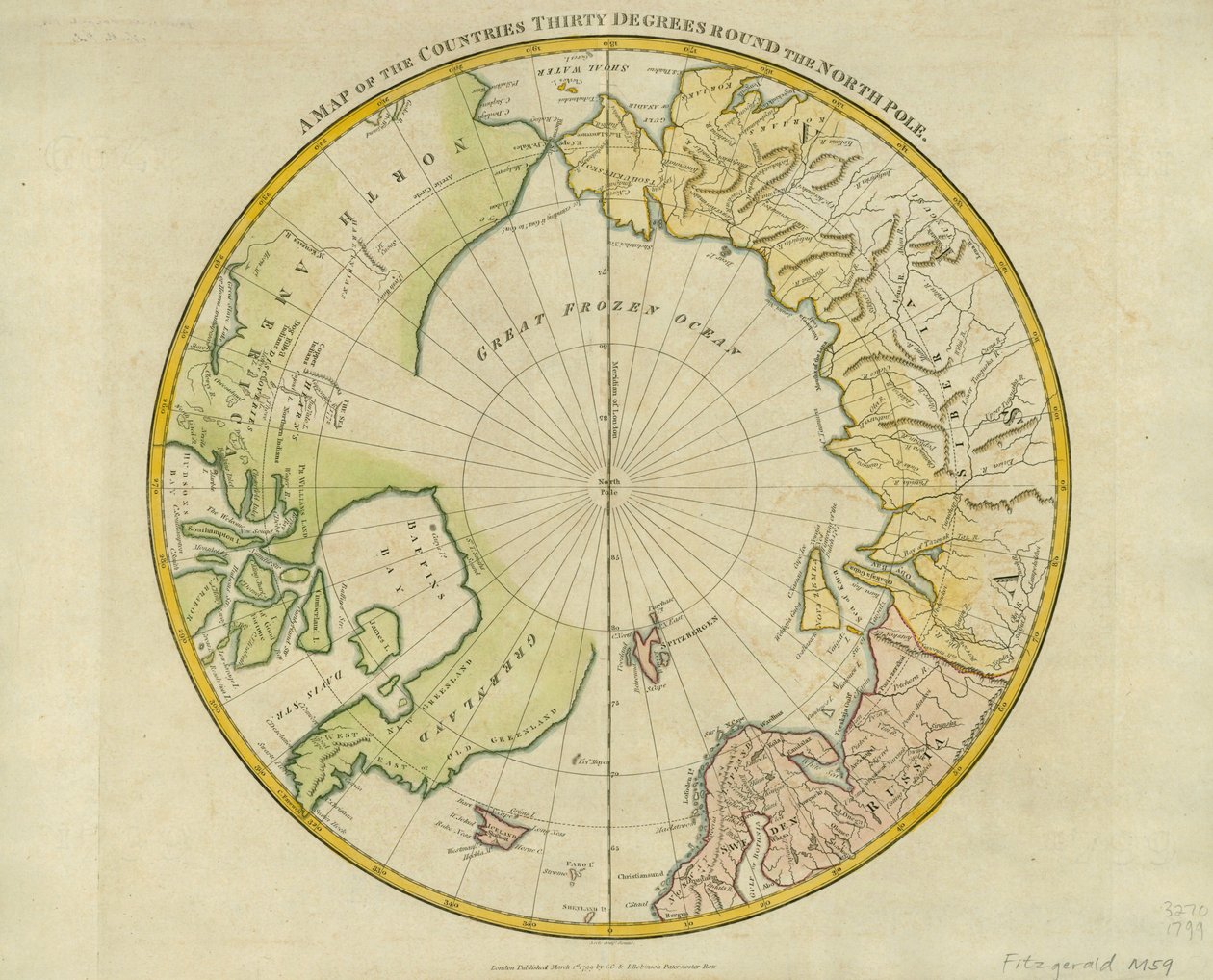
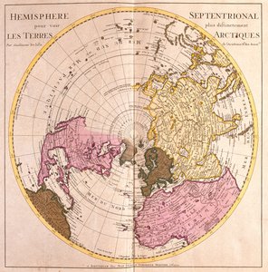
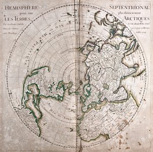
.jpg "Hemisfério norte para ver mais claramente as terras árticas")
.jpg "Mapa do Hemisfério Norte, Descrição da Terra Ártica (Água Forte")
 og viser Nordpolen Nordomrdene - (MeisterDrucke-543346).jpg "O mapa é publicado em (1628) e mostra o Pólo Norte, o Norte")
 - (MeisterDrucke-61569).jpg "Um mapa do Polo Norte")
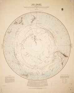
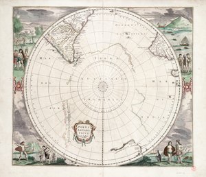
.jpg "Polus Antarcticus, 1656")
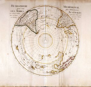
.jpg "Septentrionalium Terrarum descriptio, 1595")
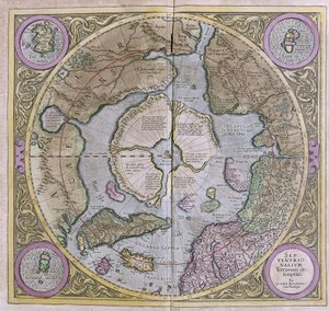
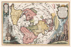
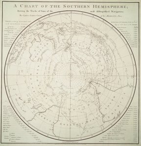


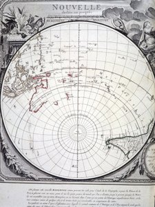

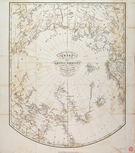
.jpg "Carta das regiões árcticas dos levantamentos do Almirantado, terceira edição, c.1854 (gravura)")
 pub by Joannes Janssonius Amsterdam 1660-1 (engravi - (MeisterDrucke-197848).jpg "Ancient Hemispheres of the World, placa 94 do \"Atlas Celestial, ou a Harmonia do Universo\" (Atlas coelestis sua harmonia macrocosmica) pub. por Joannes Janssonius, Amsterdam, 1660-1 (gravado")
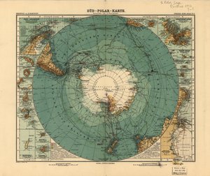


.jpg "Mapa das novas descobertas a norte dos Mares do Sul, 1750")
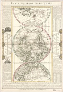
.jpg "Mapa do Império Otomano, do «Atlas Novus»")
.jpg "Mapa da Índia, 1865")
 c1574-75 - (MeisterDrucke-58063).jpg "Mapa da Europa do século XVI, da")
.jpg "Fól. 54v Mapa da Florida, de «Cosmographie Universelle», 1555")
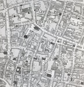

.jpg "Fól. 47v Mapa do Peru, de «Cosmographie Universelle», 1555")
 - (MeisterDrucke-61706).jpg "Um mapa do mundo, corrigido a partir das observações comunicadas às Sociedades Reais de Londres e Paris, ao muito honorável Richard Boyle, 1711")
.jpg "Austrália, de uma série de mapas mundiais publicada por John Tallis und Co., Londres e Nova York, década de 1850")

.jpg "Mapa da Lotaríngia, de «Atlas sive cosmographicae meditationes de fabrica mundi et fabricati figura», publicado por Hondius cerca de 1632")
.jpg "Mapa de Israel, de A Pisgah-sight of Palestine, de Thomas Fuller, 1650")
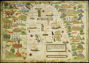
.jpg "Mapa de Granada, de &39;Civitates Orbis Terrarum&39;, volume I número 4, de Georg Braun (1541-1622) e Frans Hogenberg (1535-90), 1565")
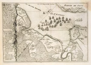

.jpg "Solidão marítima, 1852")
 - (MeisterDrucke-25084).jpg "Retrato idealizado de uma dama (retrato de Simonetta Vespucci como ninfa)")
.jpg "Um ponto de observação, 1895")

.jpg "Campo de trigo com ciprestes")
.jpg "Flores numa jarra de cristal, cerca de 1882")
.jpg "A Ilha dos Mortos")
.jpg "As respigadoras")

 +43 4257 29415
 support@meisterdrucke.com
 Mo-Do: 7:00 - 16:00 | Fr: 7:00 - 13:00