-
 ×
- Início
- Impressões Artísticas ▸
- Artistas ▸
- Categorias ▸
- Estilos Artísticos ▸
- Moldura de imagem ▸
- Todas as molduras
- Molduras barrocas
- Molduras decorativas simples
- Molduras decorativas rústicas
- Molduras com vão de sombra
- Molduras douradas
- Molduras prateadas
- Molduras brancas
- Molduras decorativas pretas
- Molduras com aparência de madeira
- Molduras Shabby Chic
- Molduras decorativas finas
- Molduras decorativas grossas
- Mídia impressa ▸
- Todos os meios de impressão
- Lona Leonardo (cetim)
- Lona Salvador (fosco)
- Lona Raphael (fosco)
- FineArt fosco foto
- FineArt cetim foto
- FineArt baryte da foto
- FineArt foto brilhante
- Cartão em Aquarela Munch
- Cartão em Aquarela Renoir
- Cartão em Aquarela Turner
- Cartão em Aquarela Dürer
- Natural Line Hemp
- Natural Line Rice
- Kozo White, 110g
- Kozo Natural, 110g
- Inbe White, 125g
- Unryu, 55g
- Bamboo, 110g
- Premio Unryu, 165g
- Murakumo Natural, 42g
- Bizan Natural, 300g
- Bizan White, 300g
- Composto de alumínio 3mm
- Vidro acrílico 5mm
- Encomendar conjunto amostra
- Qual é o meio de impressão certo?
Tela
Papel fotográfico
Cartão para aquarela
Natural Line
Papel japonês
Mídias especiais
Mais informações
- Ajuda e serviço ▸
- Contate-nos
- Venda sua arte
- Perguntas frequentes
- Vagas abertas
- Reclamação
- Pedir amostras
- Pedir vales
- Custos de envio
- Tempo de produção
- Sustentabilidade
- Pesquisa de imagem
- Pedidos especiais
- Quem somos nós?
- Política de preços
- Política da empresa
- Compromisso de qualidade
- Distinções
- Chassi para tela
- Passe-partout
- Molduras decorativas
- Vidraça
- Filetes
- Sistemas de montagem
- Mídias de impressão
- Dicas de cuidados
- Marca
- Termos e Condições
- Proteção de Dados
- Direito de Cancelamento
Informações e serviços
Mais informações
Informações úteis
Informação legal
- Loja ▸
- Contato





 Visualizar em 3D/AR
 Adicionar aos favoritos
 Selecione a cor da parede
 Ver o quadro numa divisão
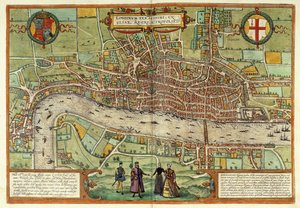
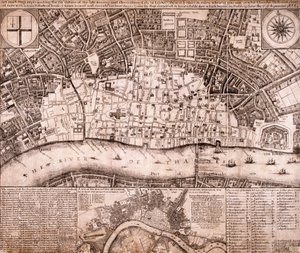
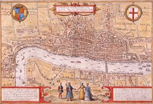
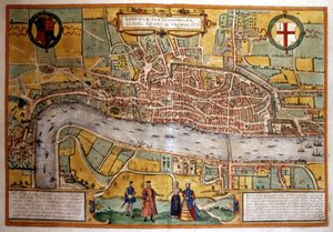

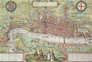
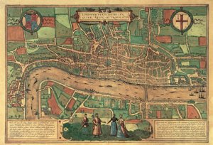
_England_(etching_-_(MeisterDrucke-948971).jpg "Vista de Londres (Londinum), Inglaterra (gravura")

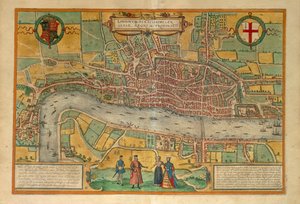
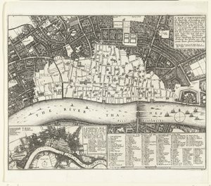
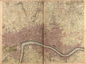
 - (MeisterDrucke-119154).jpg "Mapa da «Cittie of London», 1633")
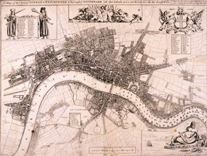
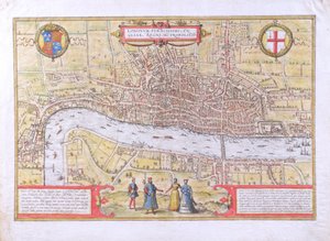
.jpg "Planta de Londres de Civitates Orbis Terrarum, vol. 1, 1572")
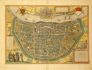
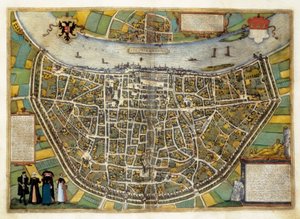
.jpg "Mapa de Colónia - Alemanha (gravura")
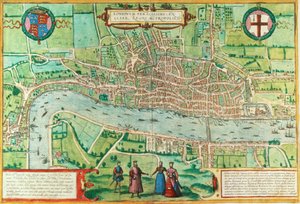
.jpg "Vista de Londres, c.1560")
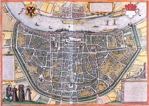
_Germany_(etching_-_(MeisterDrucke-971849).jpg "Plan of Cologne (Colonia Agrippa), Alemanha (gravura")
.jpg "Mapa de Bremen (gravura")
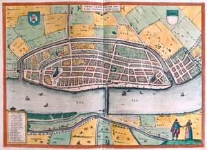
.jpg "Kampen e o rio IJssel ou Yssel, Holanda (gravura")
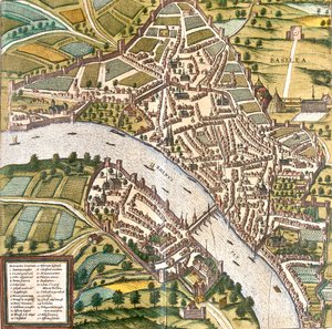
_Switzerland_(etching_-_(MeisterDrucke-949023).jpg "Plano de Bale (Basilea), Suíça (gravura")

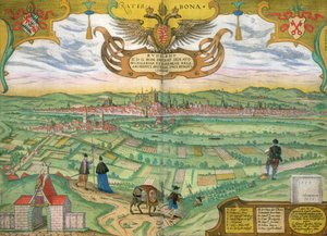

 - (MeisterDrucke-195383).jpg "Plano dos comissários, um mapa da cidade de Nova Iorque, pelos comissários nomeados por uma lei aprovada em 3 de abril de 1807, gravado por P. Maverick, 1811")
 pub by Joannes Janssonius Amsterdam 1660-61 - (MeisterDrucke-193066).jpg "Mapa da órbita da Lua em torno da Terra, de «Um atlas celeste, ou A harmonia do universo» (Atlas coelestis seu harmonia macrocosmica), publicado por Joannes Janssonius, Amesterdão, 1660-61")
.jpg "Mapa de Nova Iorque, de um atlas dos Estados Unidos, 1824")
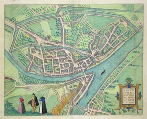
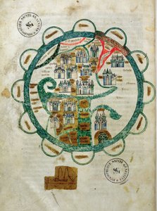
.jpg "Mapa de Rovigo, de «Les Villes de Venetie», 1704, publicado por Pierre Mortier em Amesterdão")
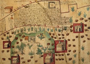
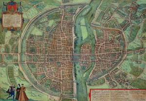
.jpg "Mapa-múndi, de «Le Theatre du Monde» ou «Nouvel Atlas», 1645")
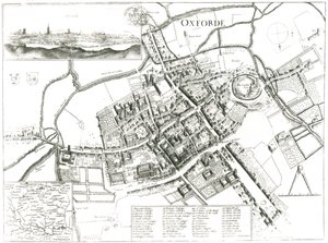
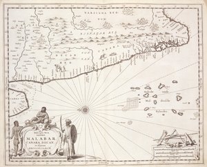
.jpg "Um mapa novo e geral do domínio do meio pertencente aos Estados Unidos, em 14 de maio de 1794")
.jpg "Mapa da cidade de Nova Iorque conforme traçada pelos comissários, 1814")
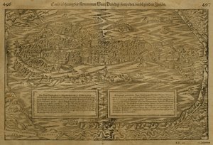
.jpg "Mapa da Batalha de Marengo, publicado por William Blackwood and Sons, Edimburgo e Londres, 1848")
.jpg "Paisagem de outono com quatro árvores")
 1434 - (MeisterDrucke-207023).jpg "O retrato de Giovanni Arnolfini e da sua mulher (O Casamento Arnolfini)")
.jpg "Carne de vaca: diagrama que representa os diferentes cortes de carne")
.jpg "Muito, muito longe, o palácio de Soria Moria brilhava como ouro")
.jpg "A incredulidade de São Tomé, 1602-03")
.jpg "Mulher de vestido amarelo")

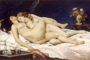
.jpg "Um passeio na praia")
.jpg "Flores numa jarra de cristal, cerca de 1882")
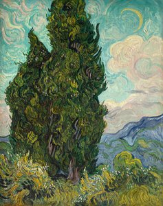
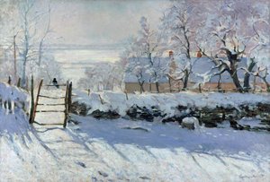
.jpg "Salvator Mundi")
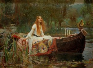
 - (MeisterDrucke-103908).jpg "Composição, 1930")

 +43 4257 29415
 support@meisterdrucke.com
 Mo-Do: 7:00 - 16:00 | Fr: 7:00 - 13:00